Geospatial Intelligence
Real solution for real life challenges
Transform GIS data into knowledge
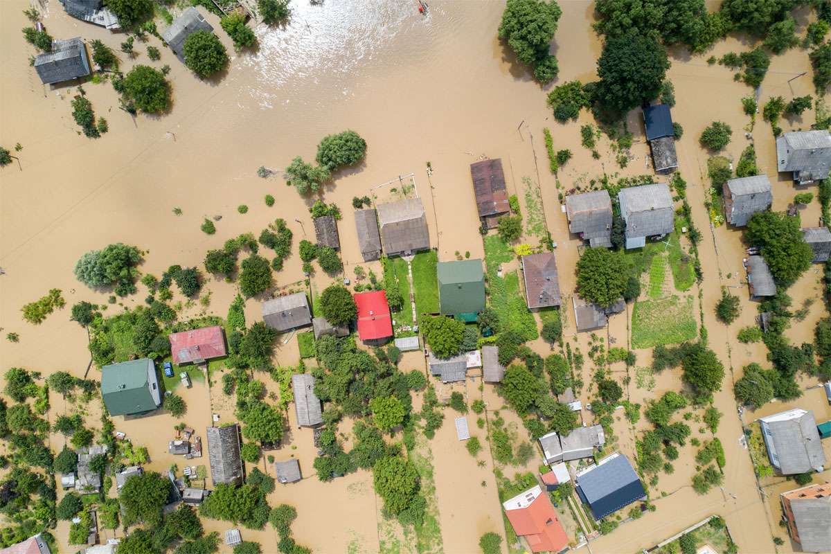
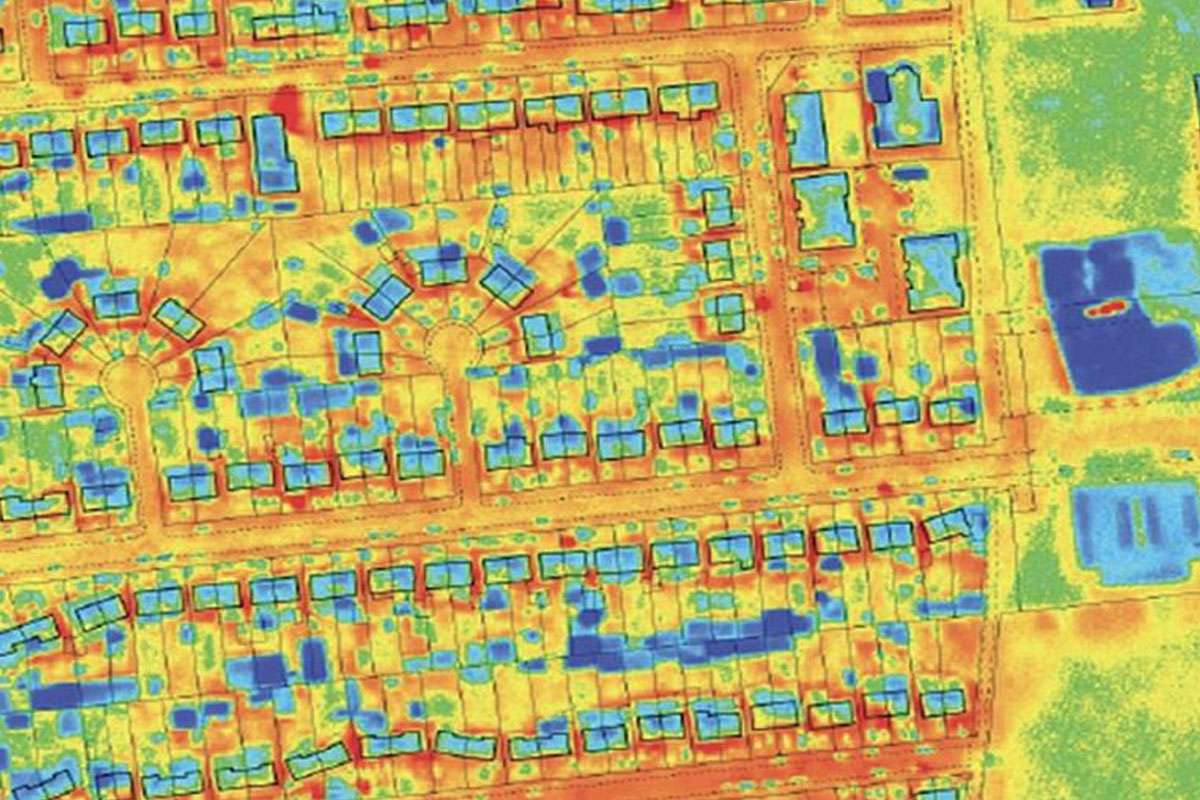
Our AI enabled geospatial analytic solutions give you the insights to dynamically monitor and manage critical assets and delivers the value of geospatial in important new ways. We to exploit geospatial information to gain actionable insights, make informed decisions, and improve business and social outcomes.
We Provide
GIS enabled decision making
Our innovative geospatial solutions based on geographical information systems (GIS) solutions are valuable tools for decision making. We hide all the complexity of working with satellite or thermal images to give you required solution that specifically meets your needs.. Helps you optimize your business intelligence with our innovative GIS-based solutions.
We Provide
Customised Solution
Whether for strategic planning, monitoring or management activities, we can deliver fully customised solution for your very need.
- Turnkey services based on your business need
- Includes all data life cycle steps, from acquisition to distribution, including updating.
- Full support for integration with your existing systems and operation processes.
- Mobile, desktop or web version of the solution as per need
Key Use case
Introduction
How it works
Our expert will provide full support for development of implementation of AI model end to end. You will have complete control to customize and fine tune model as per your business requirement and needs.
Create high quality, structured labels on your own imagery, using your experts or ours.
Seamlessly train vision AI models built on cutting-edge cloud servers or on premise.
Create use case that is simple to use in enterprise - providing access to real-time data to make real operational decisions.